Bill’s Big Bike Across America Adventure
Day 9 – June 4
Clarkston, WA to Kamiah, ID
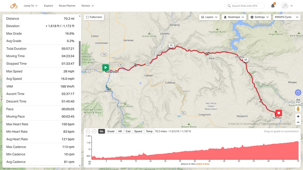
70.2 Miles, 1,618 feet of climbing
(See daily summary below map)
Daily Summary
We Got It Done
Today was 70 miles. The elevation graph makes it look tough, but the scale range is small. It was only the slightest of slope up the whole way and not noticeable.
We started out slow moving through town and then a bumpy bike path on the levee. Eventually, we ended up on route 12, where we spent the rest of the day. We made decent time and the weather was solid all day. I didn’t even put on my knee warmers and took off my under layer at the 1/2 way point. My leg started stiffish, but was overall fine today.
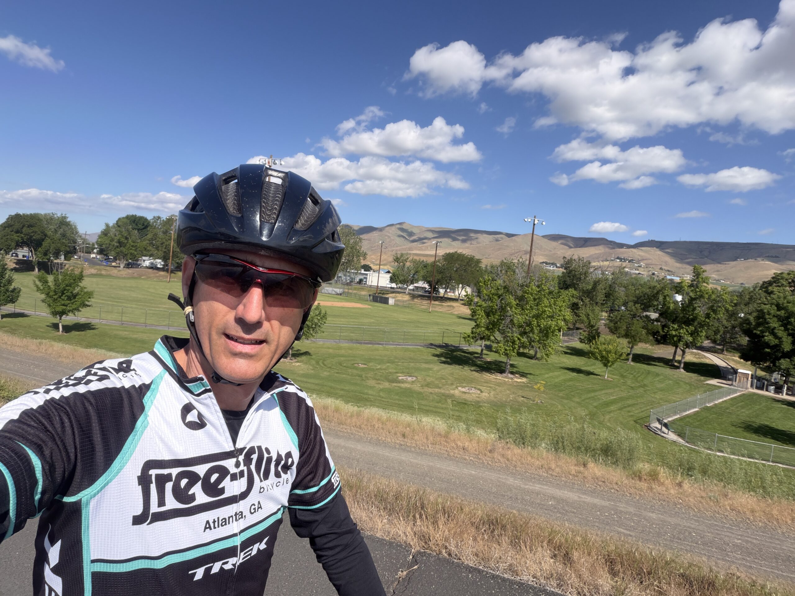
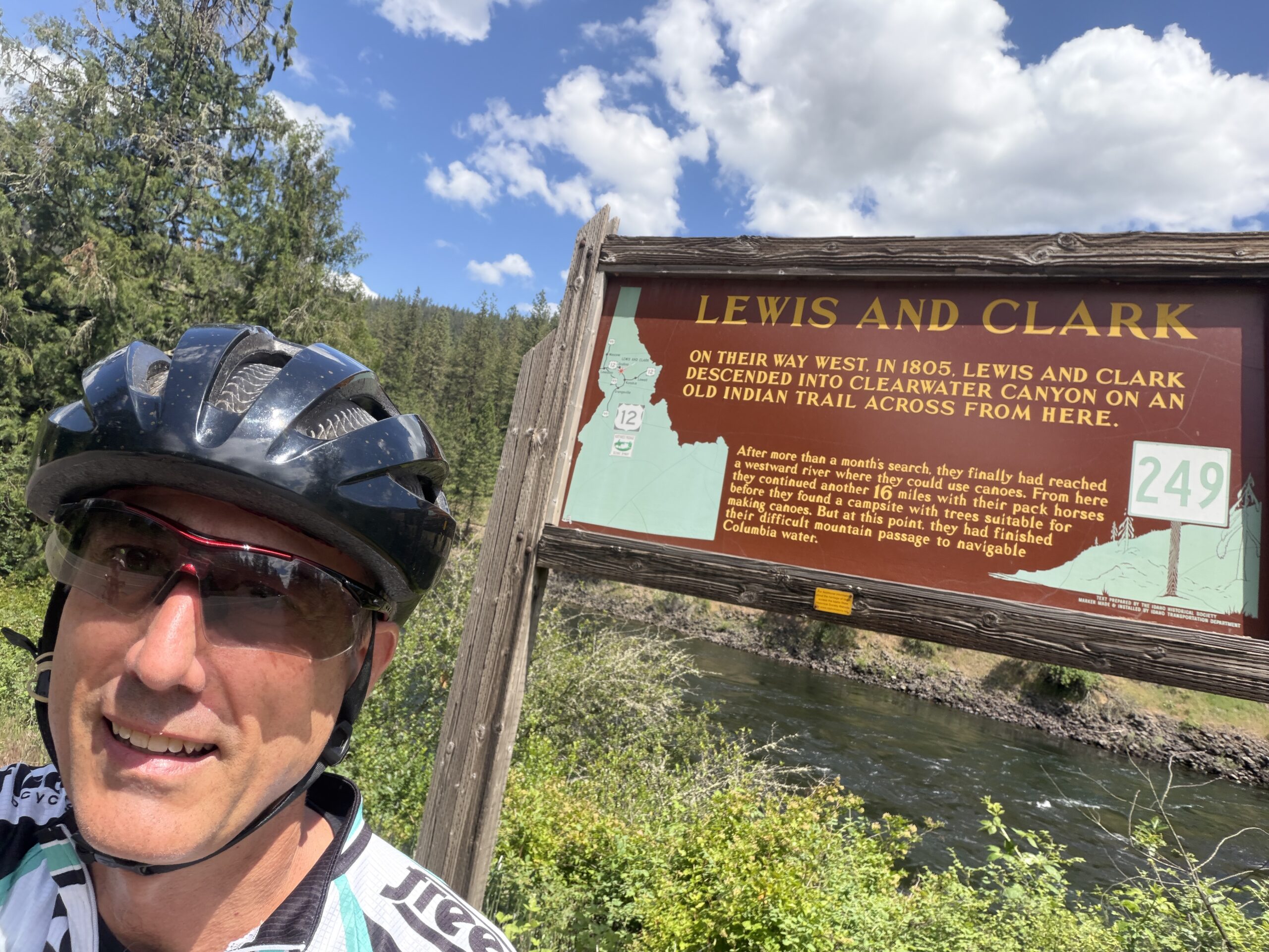
You can see me in my Free Flite jersey today. My friends Elizabeth, Drew, and Ian at the East Cobb location helped get my bike ready for the trip and also packed it up for me. So, I thought I’d give them some advertising! If you need any bike stuff and are local there, go see them.
This Was A Dicey Ride For The 2nd Half
The first half, we had a nice shoulder and so the traffic was a non-factor. For the second half, especially the last 20 miles, there were long, windy sections with no shoulder. The scenery was probably nice, but we were all having to focus on staying close to the shoulder without going off and keeping an eye out for the trucks and cars coming.
There were a number of bike unfriendly folks today. A couple of cars and trucks honking at us. One guy got yelled at and another had something thrown at him. Not sure what was up with all that.
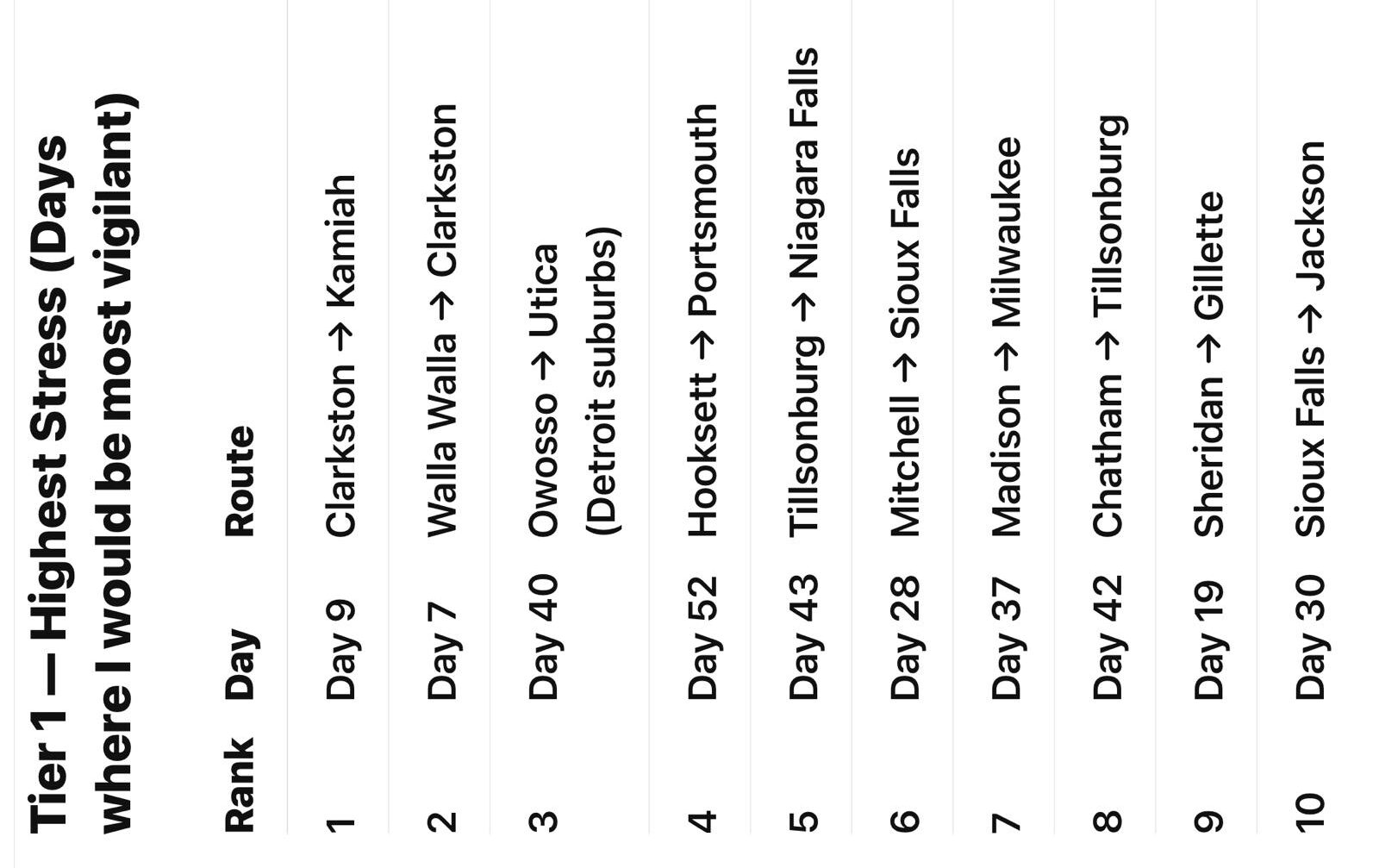
I did not enjoy the last section and was just glad we all made it ok. You can see the one picture that someone found ranking the worst days for this cross-country tour (the general route is well known and not proprietary to our tour. And, in this area everyone has to do the same thing since there is really only a single road option until Montana). Luckily, today was ranked the worst. I am hoping that tomorrow will be better. But, if it ends up similar, I may hop in the van and bypass some of it. I am not physically very tired today, but mentally it was tough to focus all that time.
The Sights
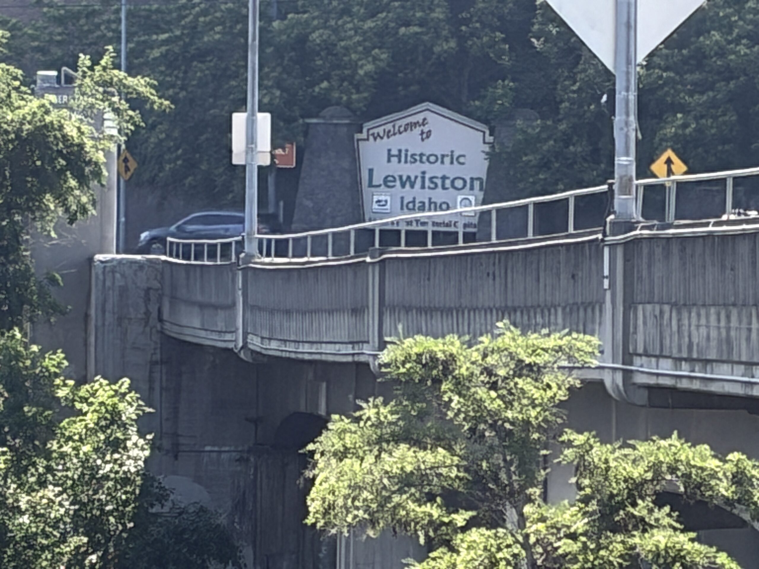
You can see a picture of the welcome to Lewiston and Idaho sign just over the bridge a mile from our hotel. The next photo is from the path on top of the levee. The houses were below us, so I can see how a levee break would be devastating.
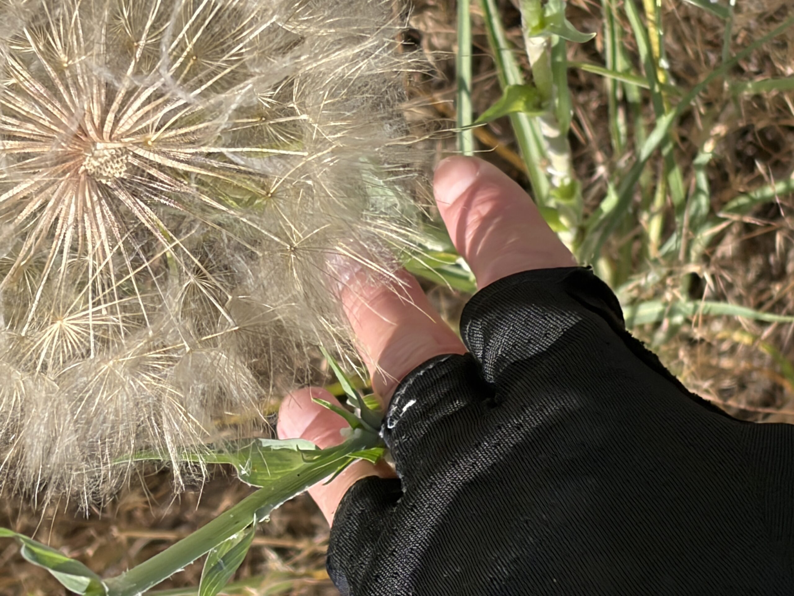
Next is a picture of a huge dandelion-like thing. There were a bunch of these. Back home, we have dandelions the size of small superballs. The ones today were several inches in size as you can see compared to my hand.
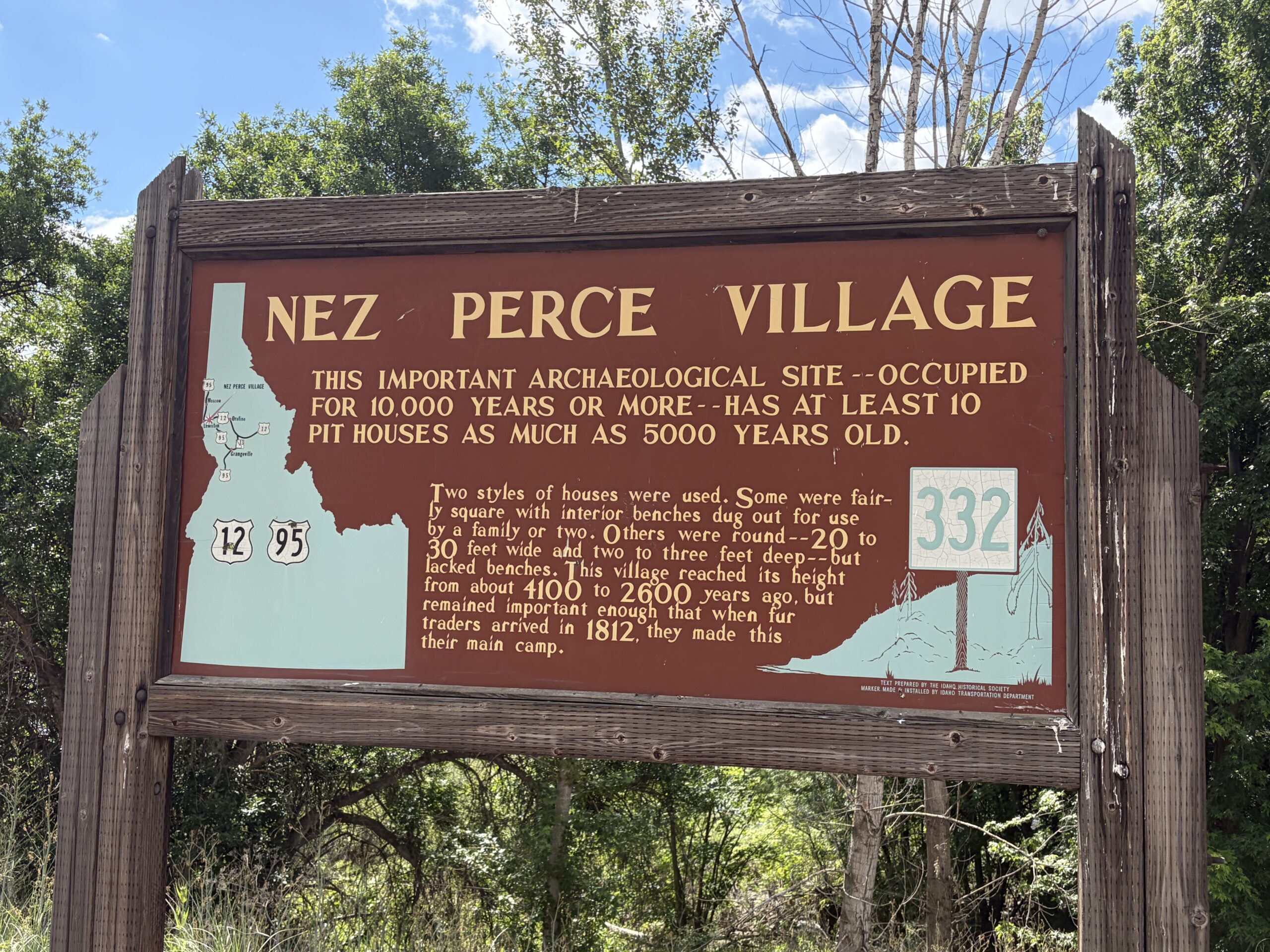
Next is a sign from the Nez Perce reservation. We spent a good chunk within the reservation.
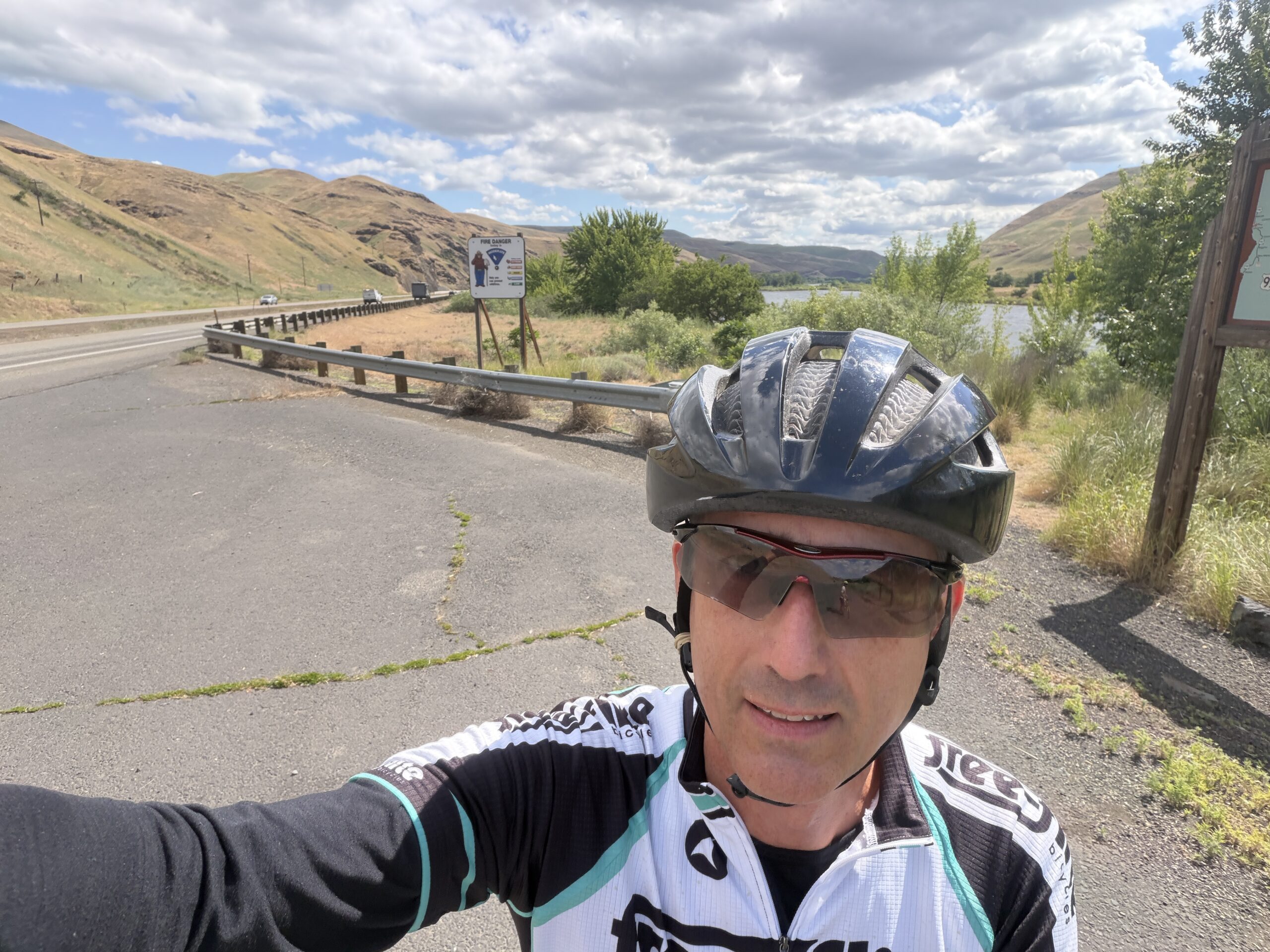
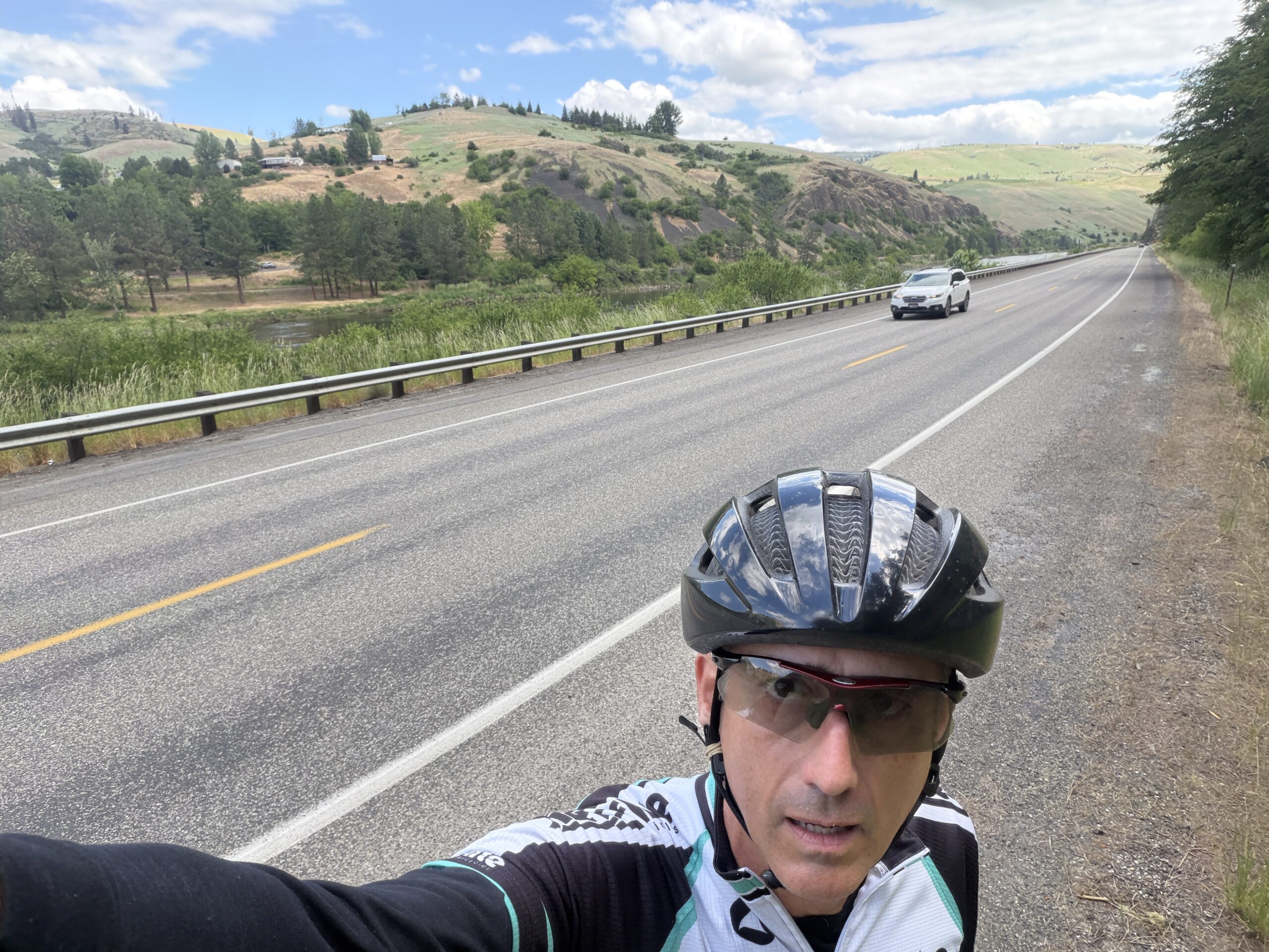
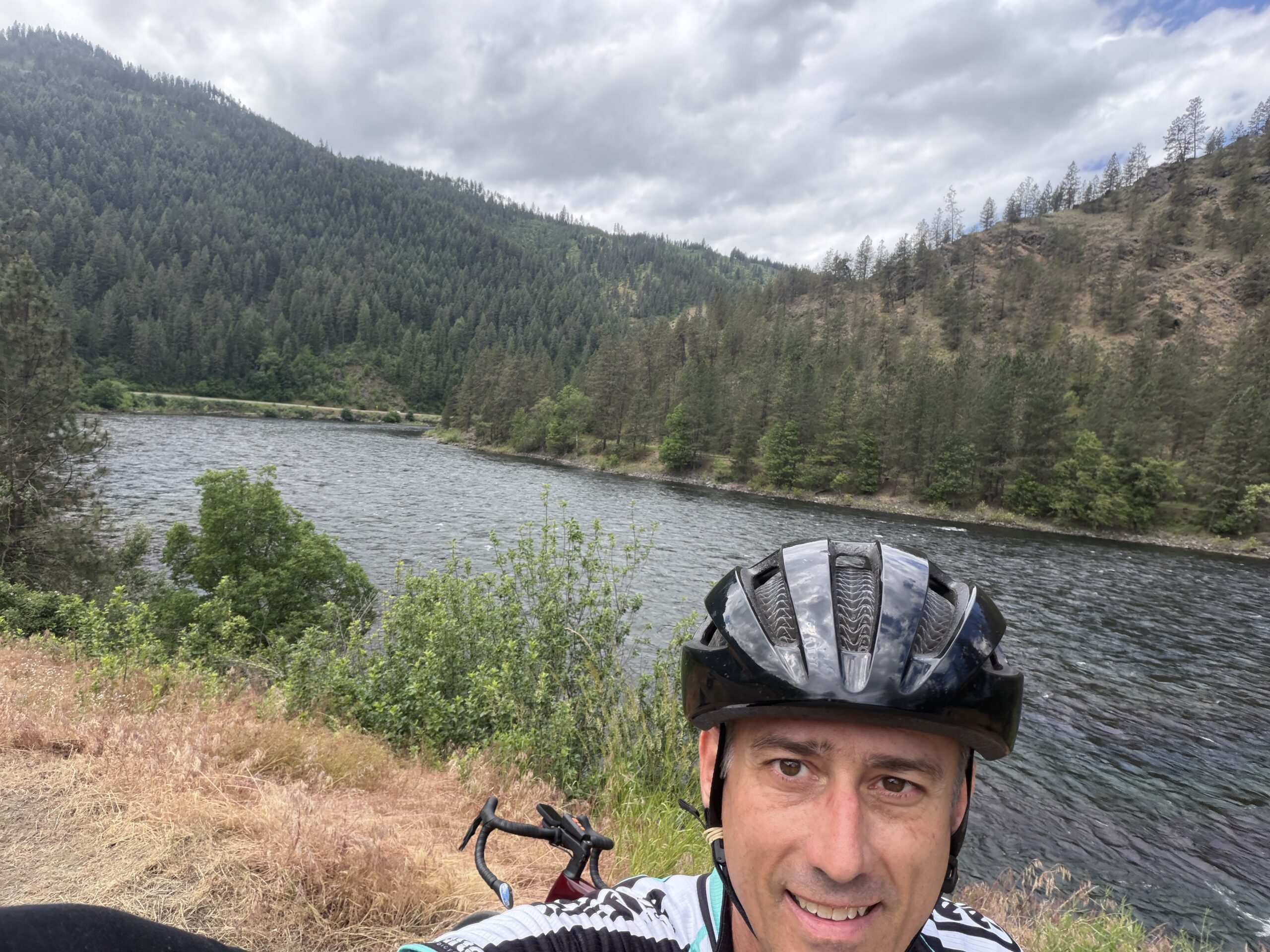
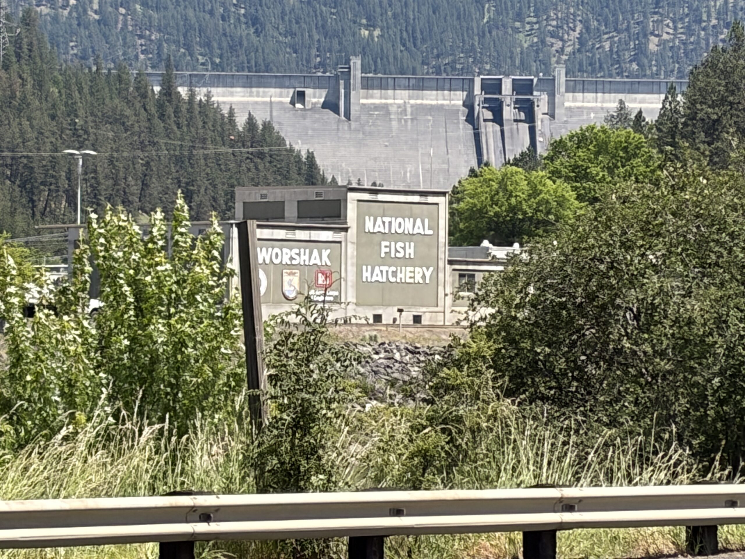
The next 3 photos show how the landscape changed over the miles. We started in dry and mostly treeless terrain and slowly worked into heavy forest. I also got a picture of a dam and fishery I saw and another Lewis and Clark historical marker.
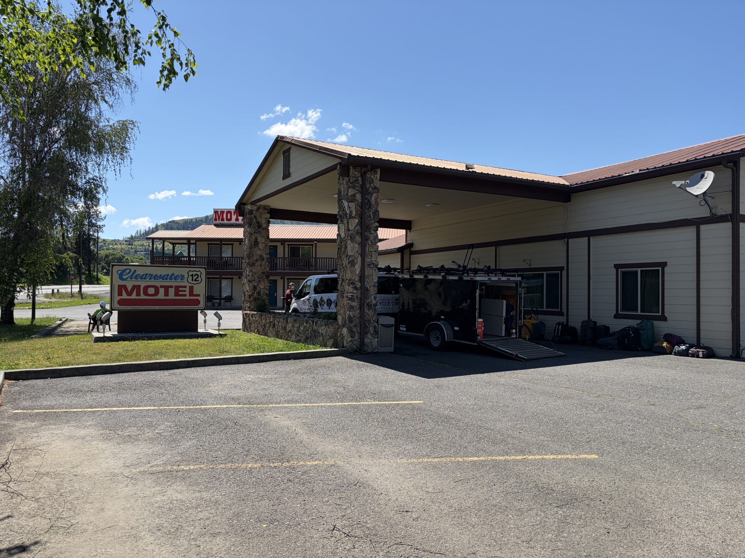
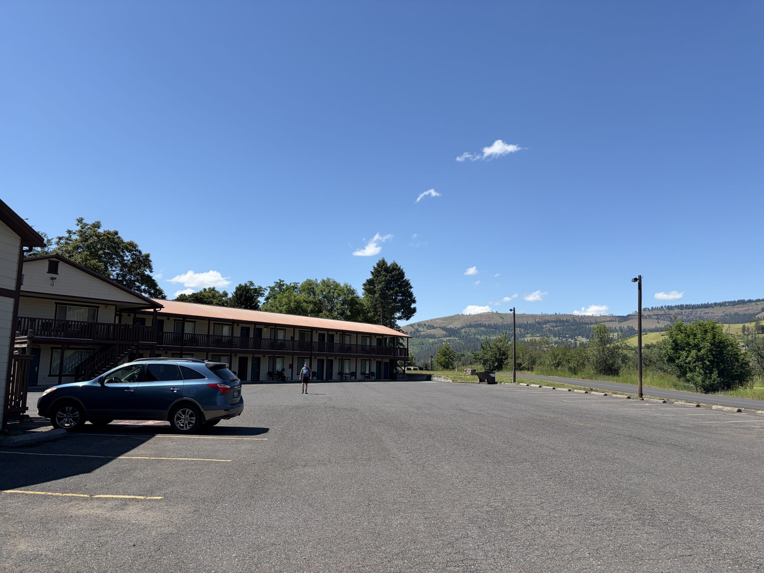
Finally, you can see pictures of our old school motel. It is also just fine and the rooms are pretty big. So far we’ve had luck with hotels.
Nothing exciting with food today. Pretty standard fare.

RankingDiciestDays 
EnteringIdaho ViewFromLeveeAboveHomes HugeDandilionThings SignInReservation ViewNotFarFromClarkston ViewLater ViewHoursIn DamAndFishery MoreLewisAndClark Motel1 Motel2