Bill’s Big Bike Across America Adventure
Day 10 – June 5
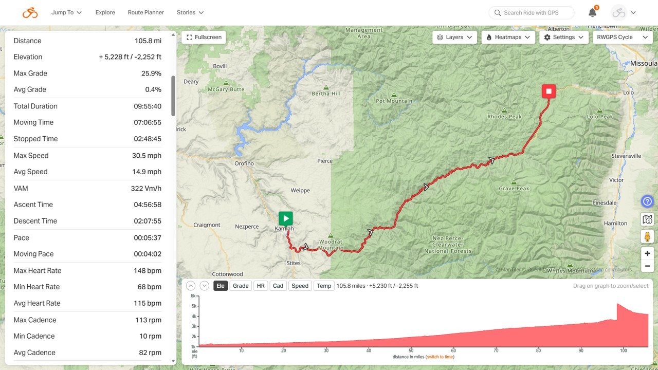
Kamiah, ID to Lolo Hot Springs, MT
Planned: 115 Miles, 5,200 feet of climbing
Actual: 105.8 Miles, 3,900 feet of climbing
(See daily summary below map)
Daily Summary
It Sounds Simple
Take a left out of hotel. Continue down the road. Take a left into the next hotel. No turns, just follow the road. The directions can be dozens of turns long some days, but today is just two turns with the rest stops.
The catch … The 2nd hotel is 115 miles down the road with the first 107 miles being uphill!!!
Today was the hardest ride yet and a hard one in general. The slope of the hill wasn’t bad until the very top, but it ate at us over time. I was pedaling for over 7 hours with very little opportunity to coast. We took some longer breaks than usual, so it took quite a while to ride. We left at 5:45 am and, with the time change, we all got in ~11 hours later.
My leg felt awesome the first 50 miles. It started barking at me here and there around mile 60. By the mid-80’s it was continuously unhappy. As a result, I hopped in the van at our mile 98 rest stop and skipped the final 9 miles of uphill. The main reason was the 4.5 mile summit effort at a 5% – 6% grade. That’s a decent hill anytime, but after 103 miles, it’s a bit brutal. Especially on a hurt leg. So, I missed about 1,300 feet of climbing. In return I didn’t risk knocking myself out of the trip. I finished the ride from the top of the mountain and enjoyed the downhill as a cool down.
The Sights
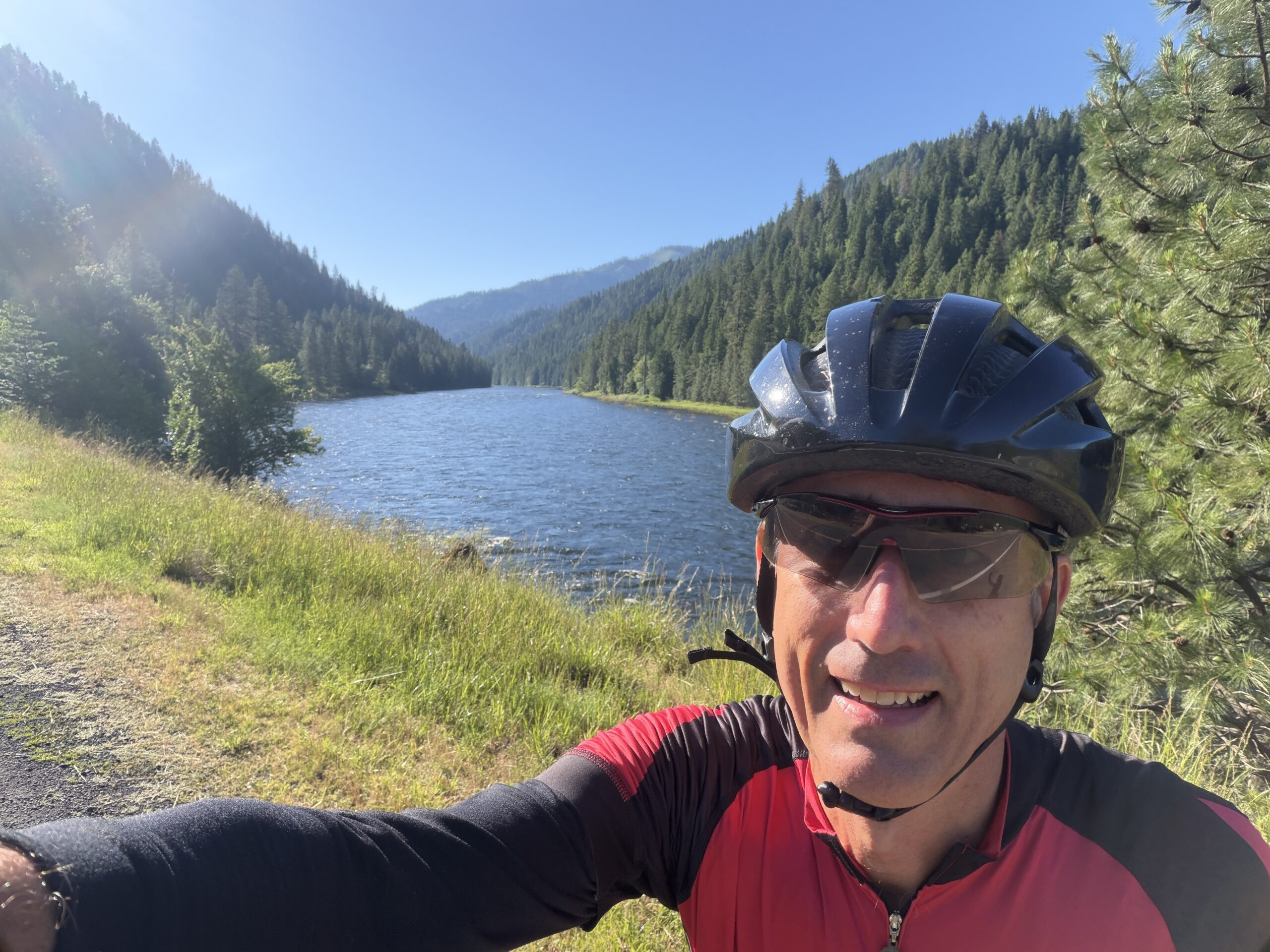
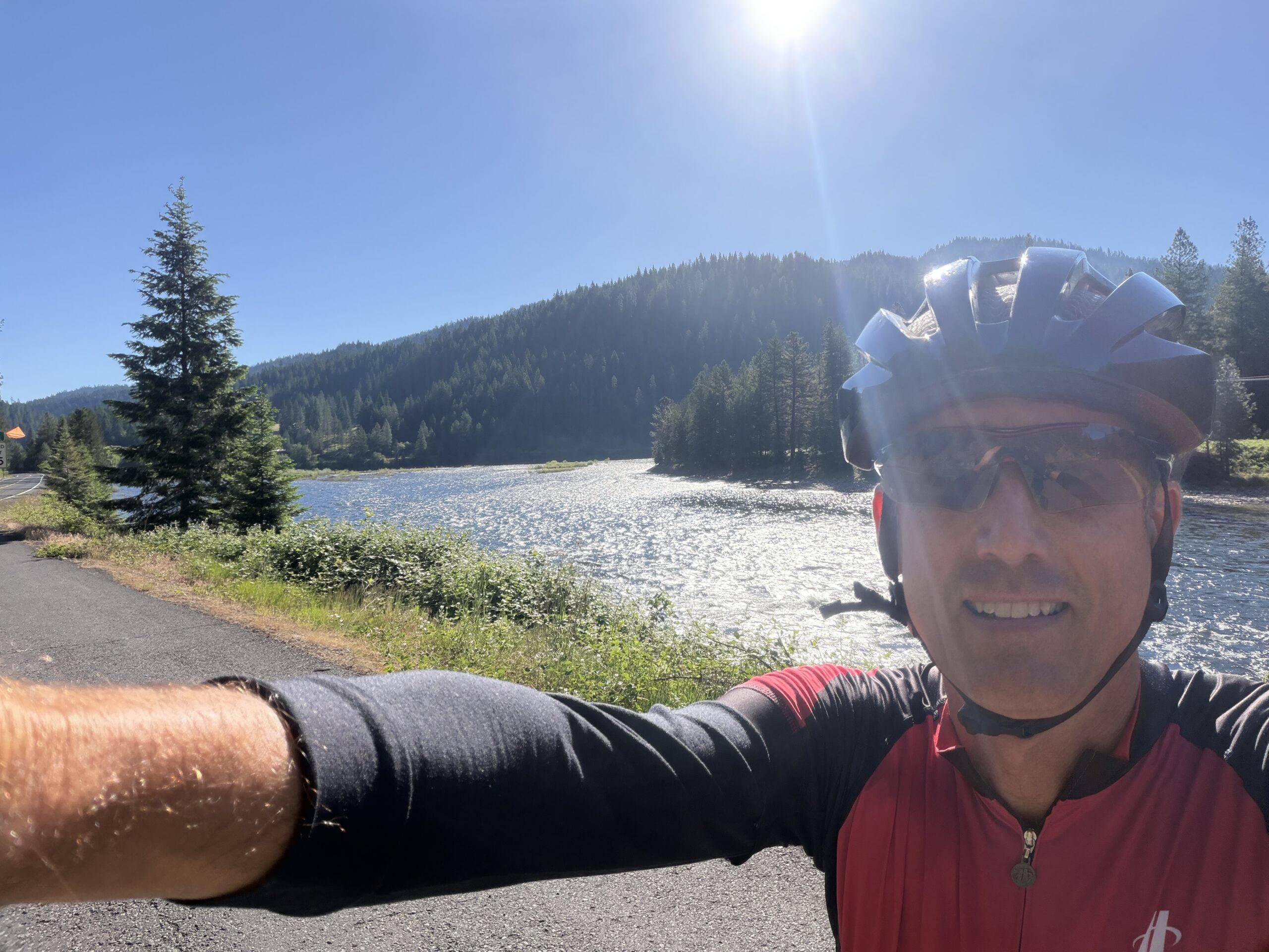
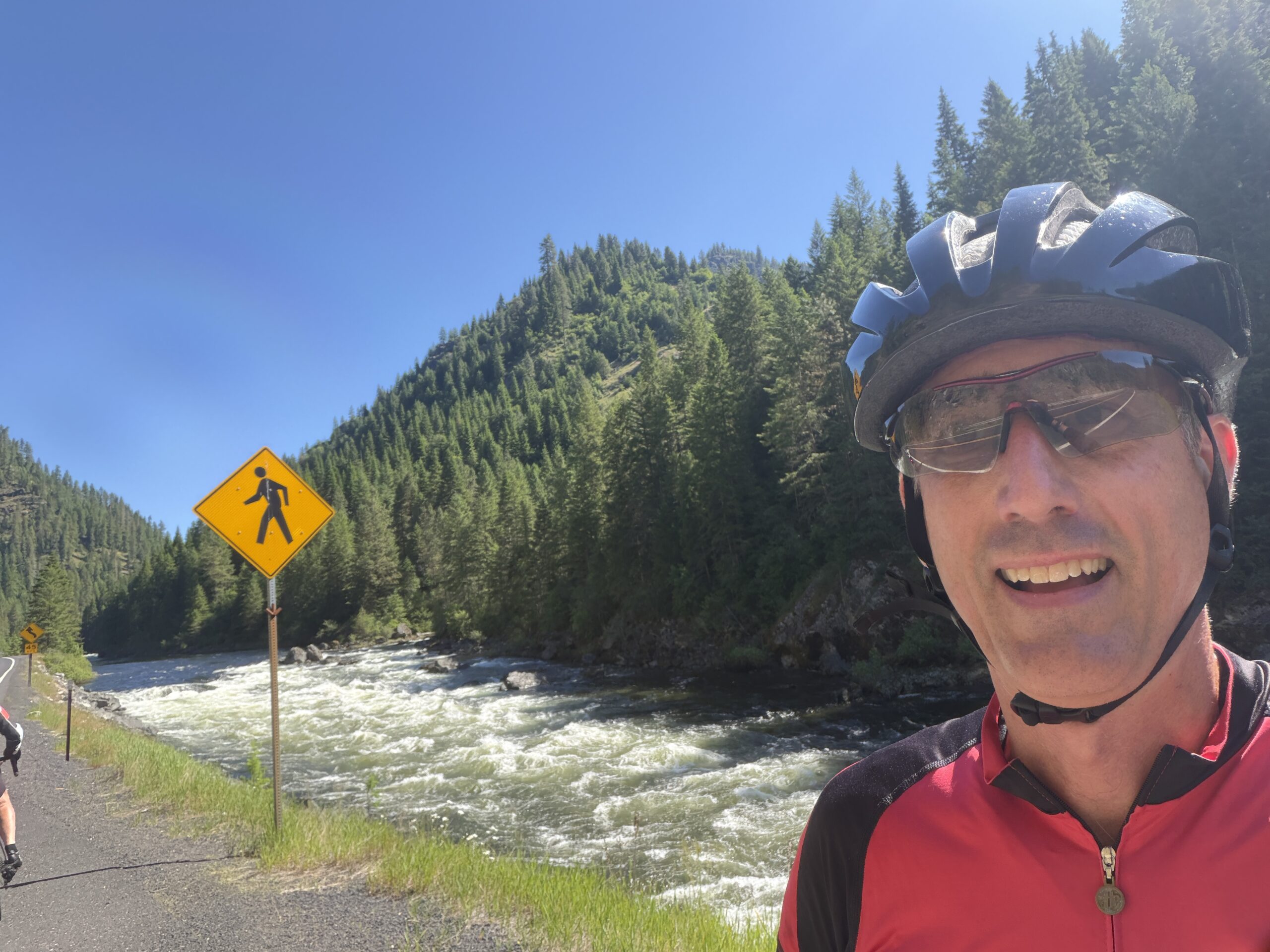
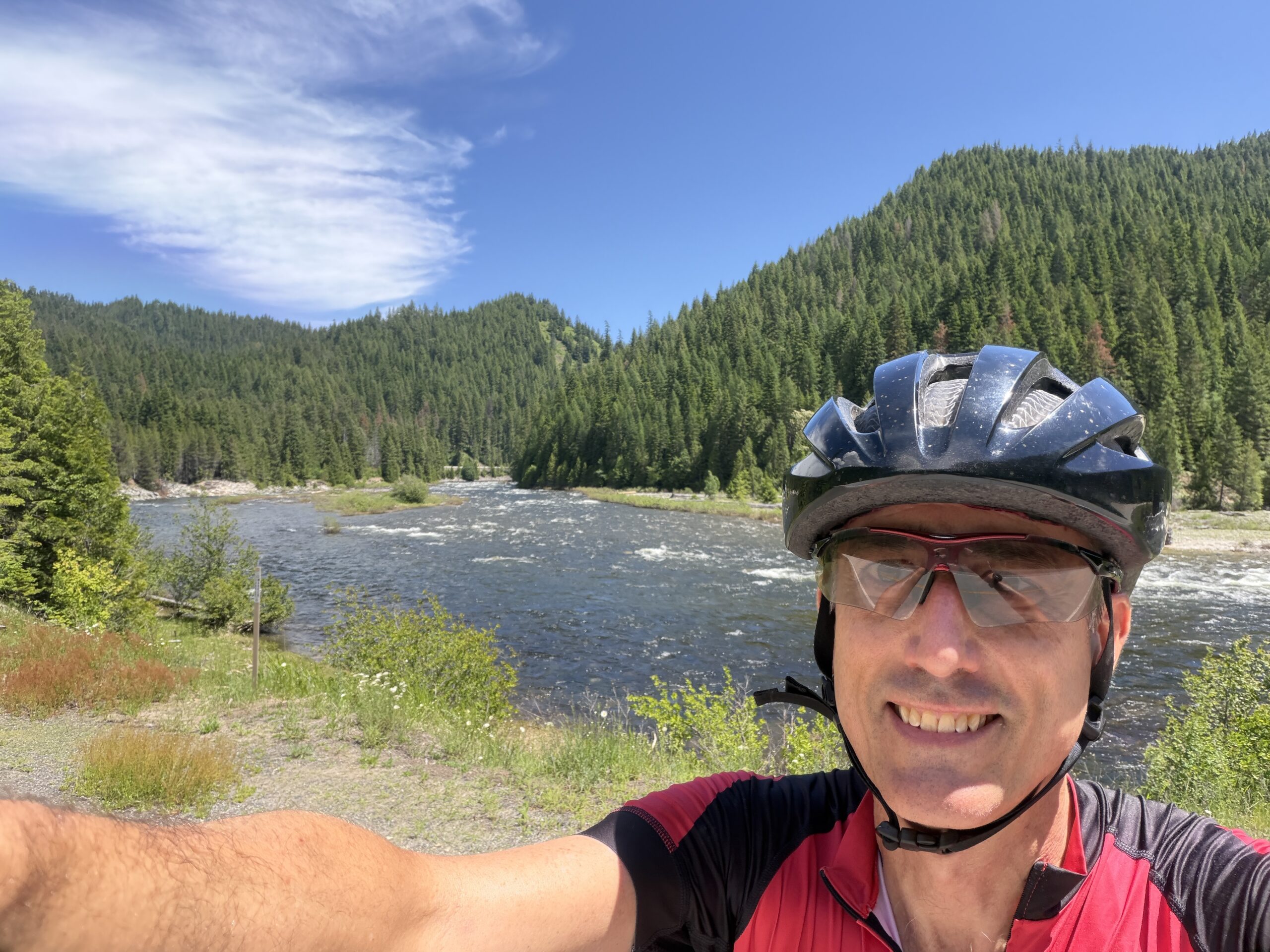
Today was amazing. It started chilly but warmed up fast. By lunch, I had lost all but one layer. There was actually very little traffic. Maybe a car every couple minutes, with virtually none our first few hours since we left so early. There was a shoulder wide enough to move onto when cars came for the bulk of the ride as well.
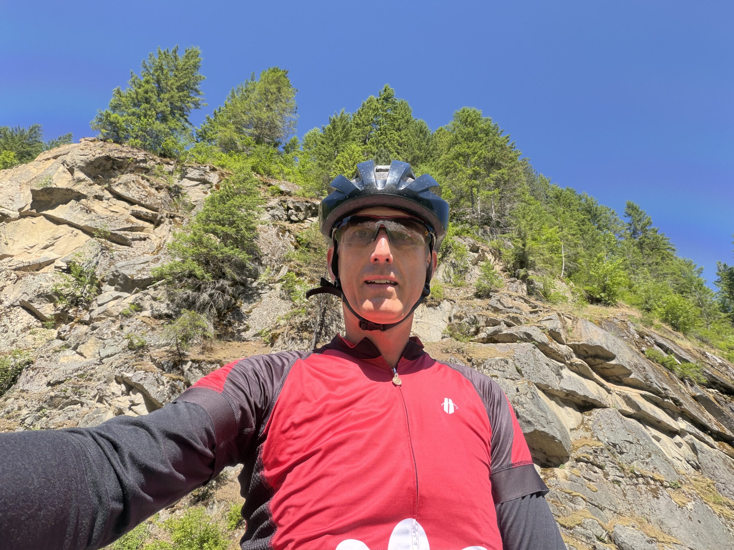
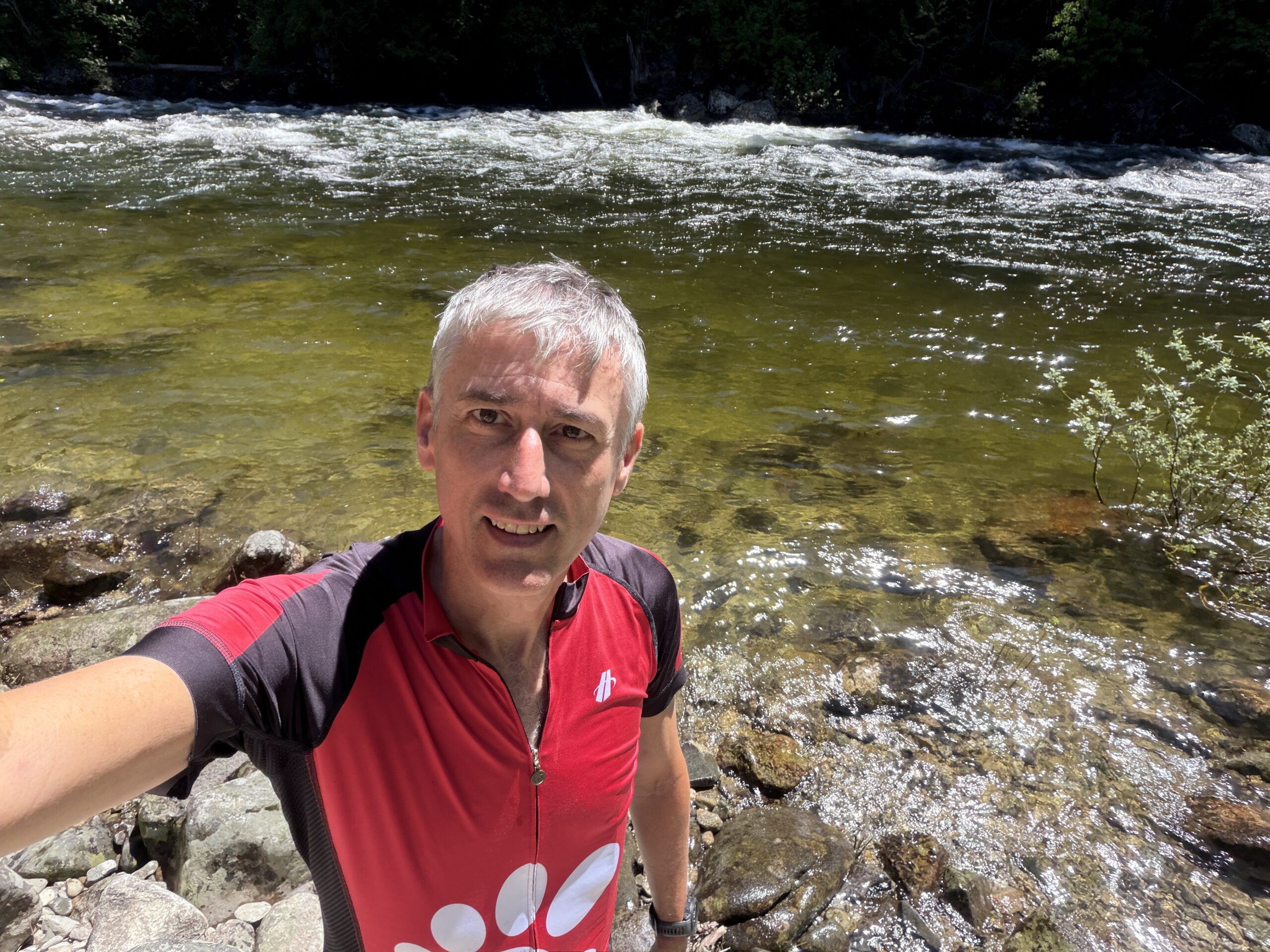
The scenery was awesome the whole way. You can see a series of pictures as the ride progressed. Similar all day, but hard to get tired of. At lunch I got to go down to the river. I did take one picture of the non-river side of the road. It was often a steep hill or cliff.
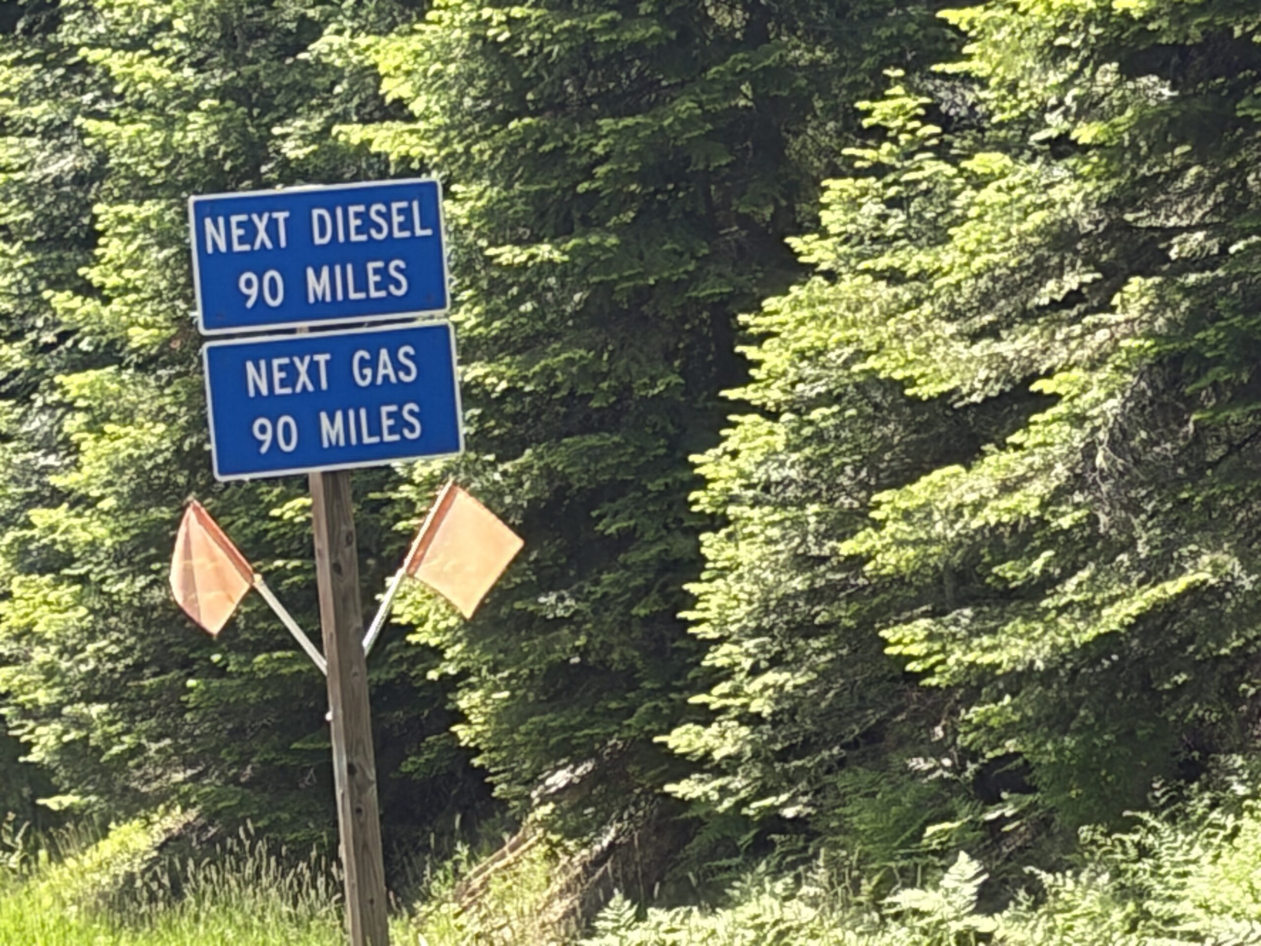
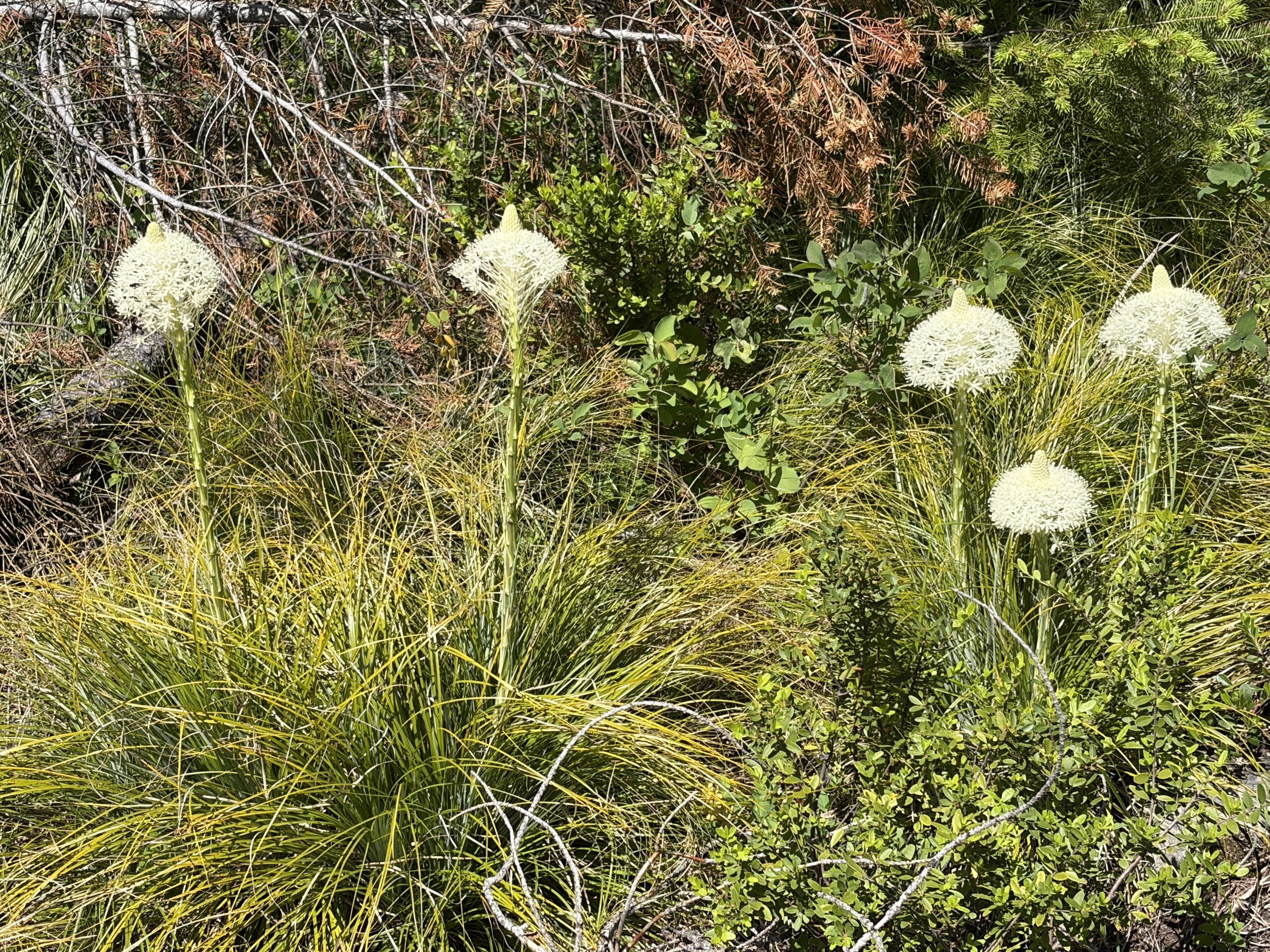
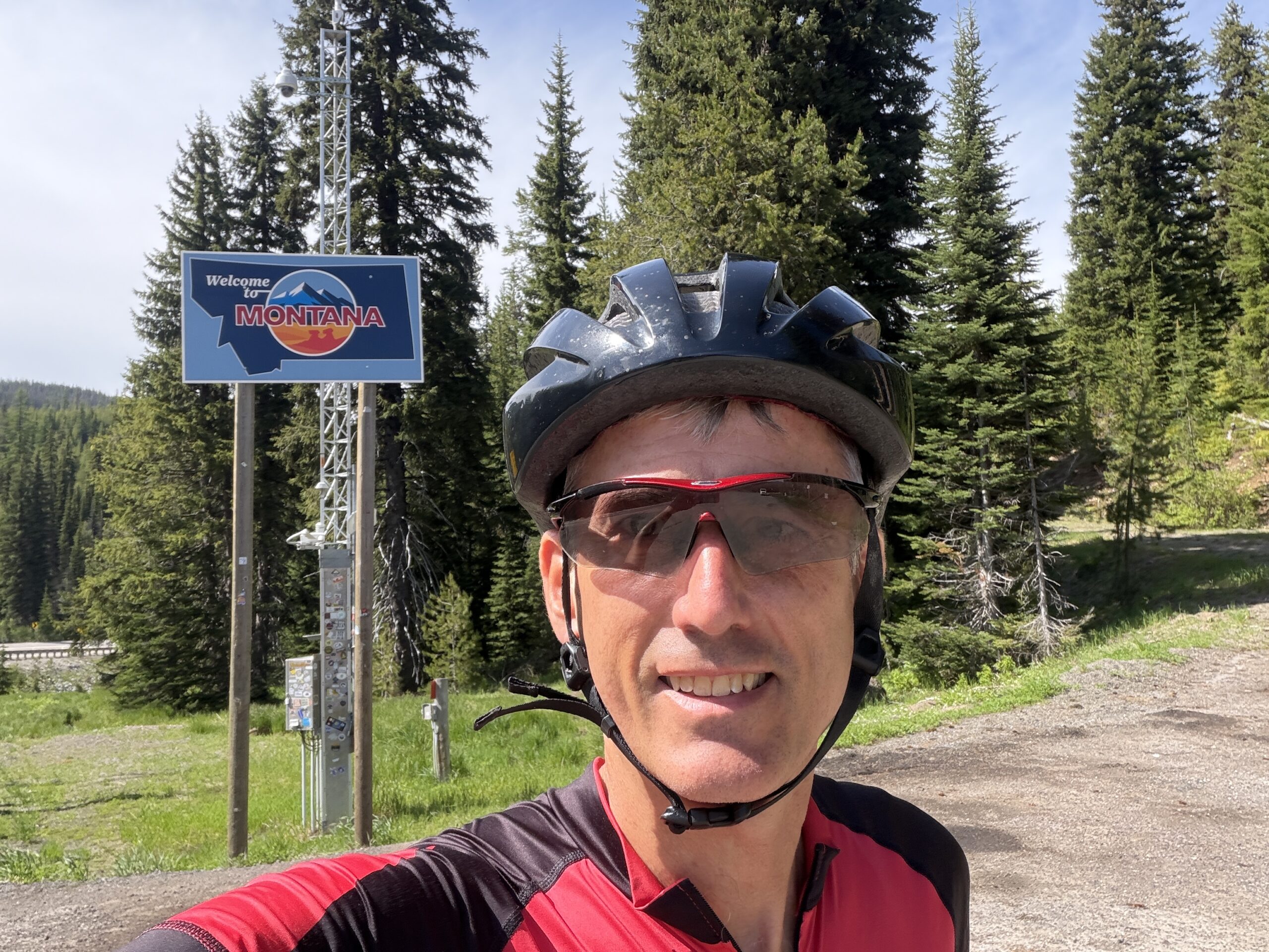
You can also see some cool flowers I saw toward the top of the mountain. One picture is a sign showing how remote the area is. No gas or stores for 90 miles! That’s why we had to do 115 miles because there just wasn’t anything. The last thing you can see is me entering Montana at the top of the mountain before I did the descent to the hotel.
I didn’t get a picture but there were a few places where there was a parking area for residents by the road. But, instead of a house, there was a zipline across the river. Apparently, some people on the far side have to ride across the river to get to their house on these cables using some type of seat or platform.
As Remote As You’ll Get
We lost cell service shortly after leaving town. Even at our hotel, there is no cell service. Apparently, the hotel also only got wifi in early 2026! So, until recently, we would have been totally off grid for over 24 hours. The wifi was poor too, which is part of why I couldn’t post this until a day late. The hotel actually has a phone booth in the lobby you can use to make calls via a landline.
The Motel And Hot Springs
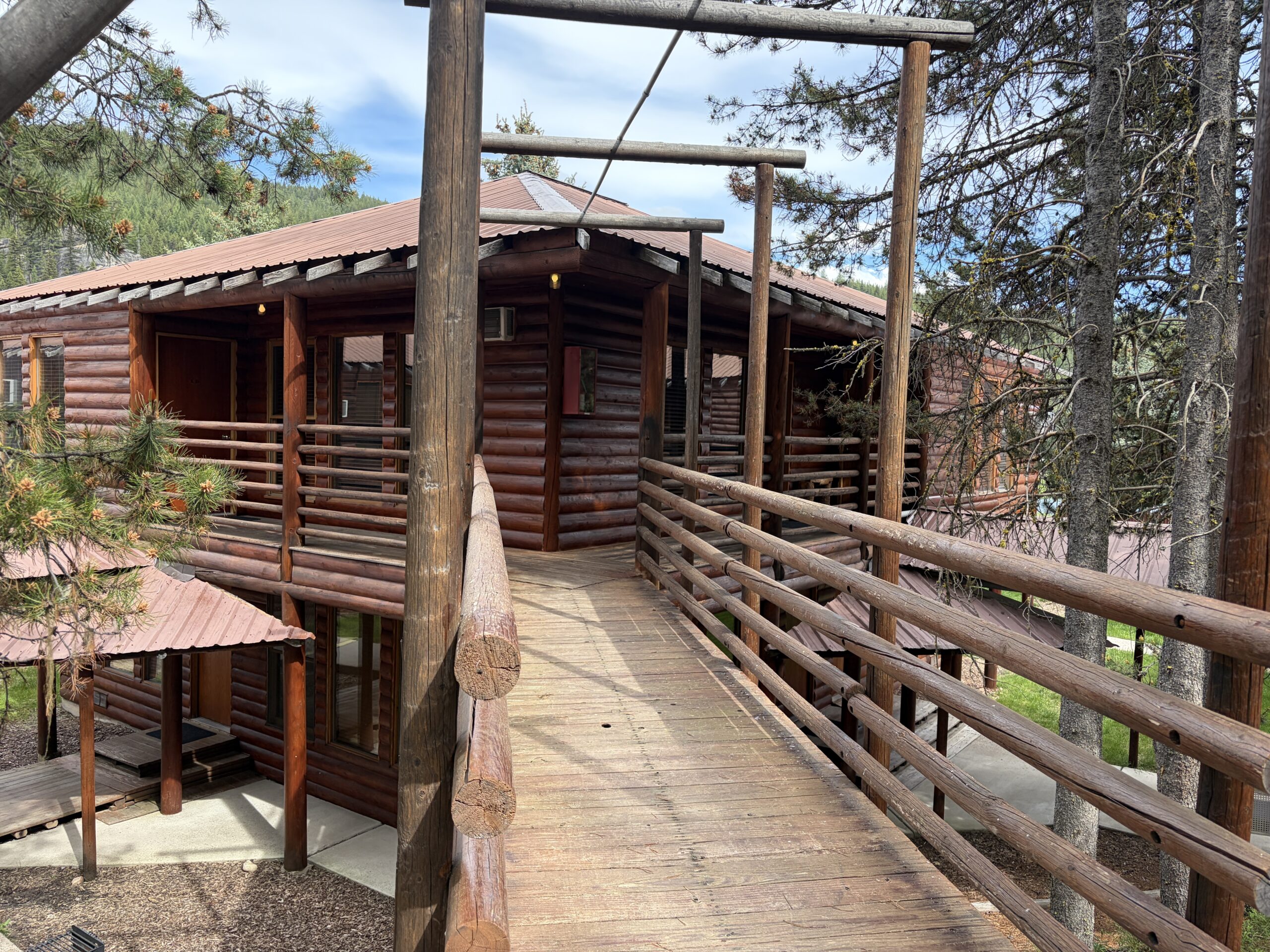
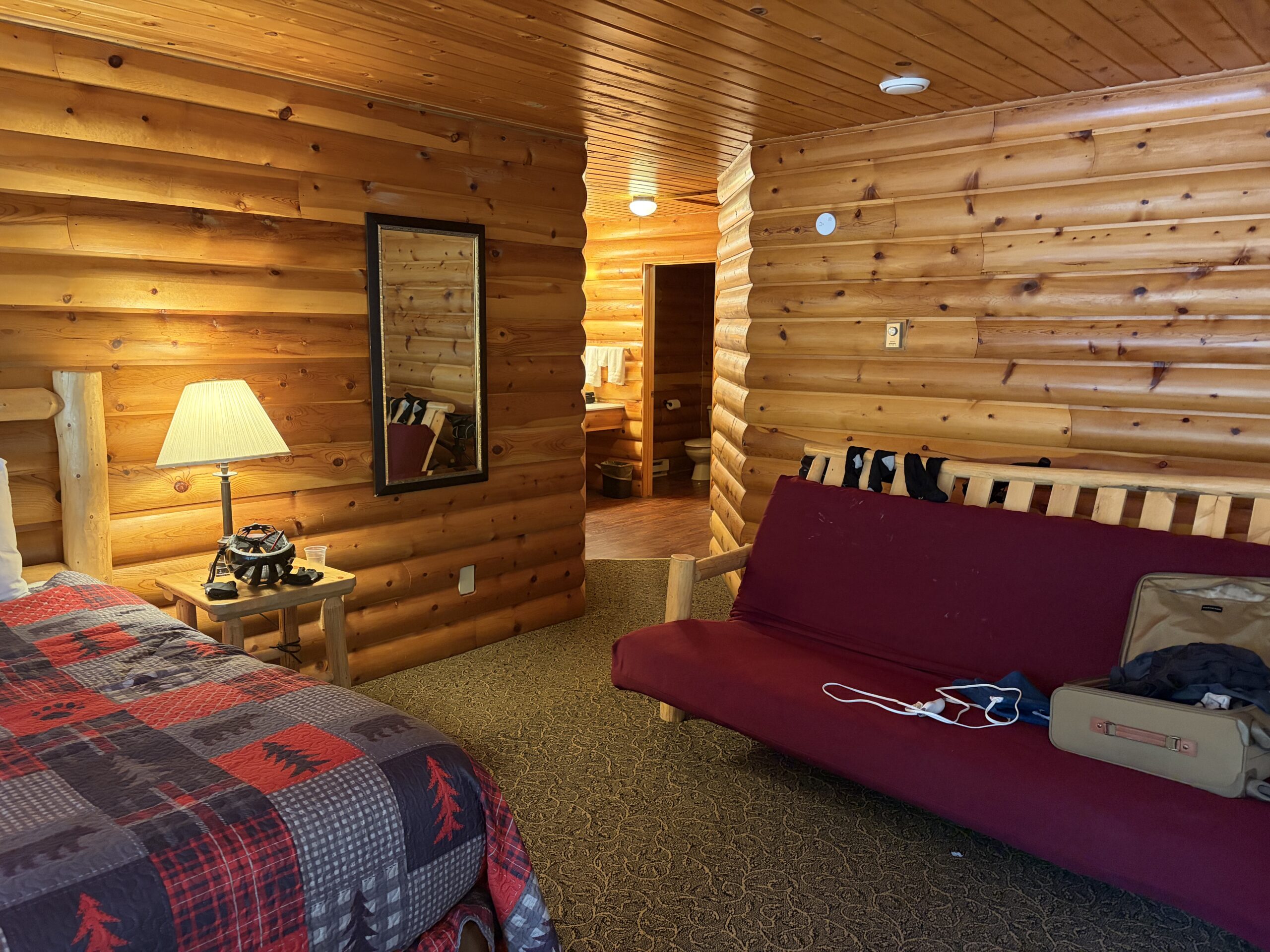
We’re in Lolo Hot Springs. So I figured the springs would be a park down the road somewhere. The hotel actually diverts water from a hot spring into their hot tubs. So, we got to soak in warm, natural, high PH spring water. It was really cool and felt great after the long day! The hotel itself is also unique. You can see the two pictures. It definitely has a mountain log house vibe. It was a nice place to stop.
Nothing exciting with food. A solid dinner with nachos, salad, hamburger, and fries. It seemed to be a locals joint as well. A good way to end the day.

View1 View2 View3 View4 NonRiverSide AtWater RemoteClue CoolFlowers EnteringMontana Hotel1 Hotel2